LAND SURVEYING
SURVEYING SERVICES
At Greenway we tailor our surveying services to each specific client. Whether you are a homeowner searching for your property corners, a realtor trying to coordinate a boundary survey, or a developer about to begin your next big project, Greenway has the experience and personnel to fit your need.
With over 50 years of experience in the local community, our rich surveying legacy puts Greenway a step above the rest. We use the latest technology and efficient work methods to provide you comprehensive and accurate results.
Please see our detailed services and equipment below and contact us to schedule a project.
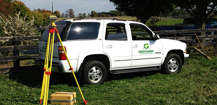
GLOBAL POSITIONING SYSTEMS
GPS provides surveying and mapping data of the highest accuracy. GPS-based data collection is much faster than conventional surveying and mapping techniques, reducing the amount of equipment and labor required.
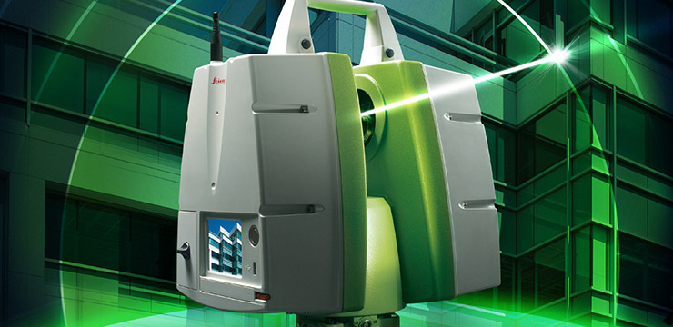
LIDAR 3D SCANNING
Utilizing our state-of-the-art LIDAR mapping device, we are able to produce a robust, accurate 3D representation of the surveyed site that can be used for a variety of applications.
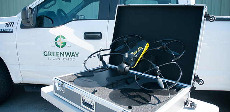
UAV TOPOGRAPHY & IMAGING
UAV aerial mapping can achieve cost savings over traditional survey methods and manned flyovers. We have the ability to fly our UAVs under cloud cover and in moderately inclement weather, avoiding time delays associated with other topographic methods.
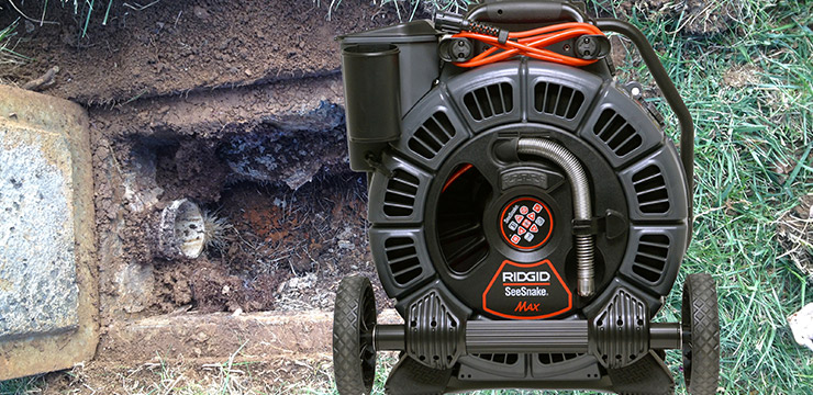
UNDERGROUND UTILITY LOCATION
We locate underground electric, telephone, water, and gas lines using the newest induction/conduction sensing equipment available prior to design, thereby avoiding costly and time consuming issues that might otherwise arise concerning them.
LIST OF SURVEYING SERVICES
PROJECT SPOTLIGHT
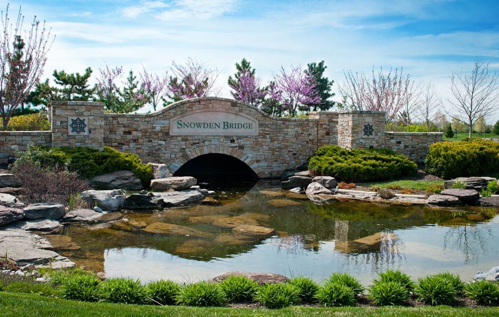
Location: Frederick County, VA
SNOWDEN BRIDGE COMMUNITY
We have been providing surveying layouts for the Snowden Bridge Community since 2003. By working hand in hand with the owner, developer, and contractors on site, we are able to provide consistent, high-quality surveying services—producing one of the most recognizable and desirable communities in Northern Virginia.
Services Provided:
